Geographic Information Systems (GIS)
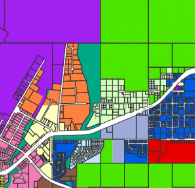
The Planning and Zoning Department maintains the mapping data using a geographic information system (GIS). The following mapping resources are available online:
- The Kenai Peninsula Borough (KPB) viewKPB is useful for looking up basic information about a property and viewing plats.
- The City's Interactive Maps provides mapping data to water/sewer lines, zoning, and the City's cemetery.

